Imperial Beach Bacteria at 50 Times Safe Levels, Heat Watch to Begin Friday
How this was made Verified AI
Every Intellegix briefing is generated from that day's broadcast and run through automated checks before it publishes — with a human paged on any flag. Here is the trail for this edition.

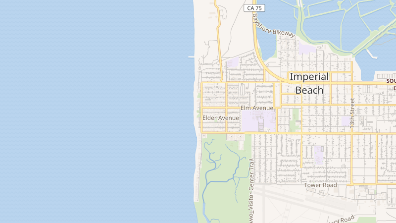
A weekend rain event in the Tijuana River watershed sent more than 168 million gallons of water surging through the river at approximately 1:45 a.m. Monday, triggering a severe contamination event along the south county coast. County monitoring found bacteria levels off the Imperial Beach Pier at ten times the safety threshold by 6 a.m. Sunday; the most recently reported reading stood at fifty times the safe level. Water quality advisories typically go up at three to five times the safe bacterial threshold, placing this event well into the severe range. The shoreline remains closed, and residents and visitors are urged to check county advisories before approaching any south county beaches.
A Coastal Flood Advisory also remains in effect through 5 p.m. Wednesday for San Diego County's coastal areas. High tides between 10 a.m. and noon are forecast to reach 6.8 to 7.1 feet; residents should avoid parking or walking in vulnerable low-lying beach and harbor areas during that window and allow extra time on affected coastal roads.
The more sustained public safety threat arrives Friday. The National Weather Service has issued an Extreme Heat Watch beginning at 10 a.m. Friday, October 2nd, running through 9 p.m. Wednesday, October 7th — a six-day heat event window. Temperatures are forecast to run five to ten degrees above average Thursday, with further warming Friday. The weekend could bring record-warm overnight lows Saturday through Monday, a particularly dangerous pattern because it eliminates the body's nighttime recovery window. Local forecasts reported by Santee Pulse project highs near 97 degrees Thursday, 101 degrees Friday, and 100 degrees Saturday in East County.
The City of San Diego is simultaneously urging businesses to begin El Niño flood-readiness preparations, reflecting the volatile seasonal pattern that brings heat events and eventual atmospheric river conditions in the same cycle. The practical guidance for residents: check on vulnerable neighbors and relatives before the weekend, locate the nearest cooling center, and begin reviewing flood-readiness plans for any low-lying property.