What to Watch Next: Six Weeks to Insurance Deadlines, 48 Hours on TB, and a Census Day That Tells the Real Enrollment Story
How this was made Verified AI
Every Intellegix briefing is generated from that day's broadcast and run through automated checks before it publishes — with a human paged on any flag. Here is the trail for this edition.

Wednesday's Board of Supervisors Land Use session on the Golden Pacific Powerlink is the most immediate civic moment of the day. The county's formal response will shape the California Public Utilities Commission process, and residents in any of the alternative route corridors should follow the proceedings closely.
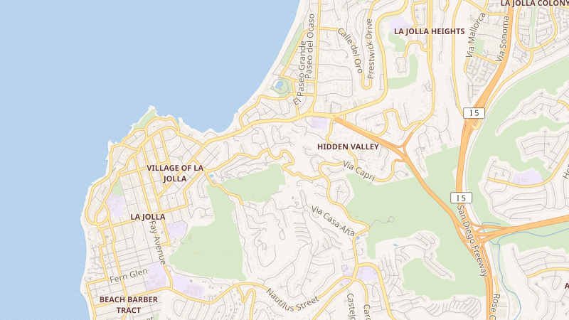
The La Jolla drug-resistant tuberculosis situation warrants close attention over the next 48 hours. The absence of a detailed public health statement from San Diego County is itself a signal; a more specific response from county health officials in that window will indicate whether the public health infrastructure is responding with appropriate speed. The October 7th enrollment census will determine whether San Diego Unified's summer gains are real in net terms.
For homeowners in Alpine, Lakeside, Spring Valley, and neighboring East County wildfire-exposure communities: the California FAIR Plan rate increase of 29 percent takes effect October 1st — six weeks from now. Reviewing current coverage and exploring whether any standard-market options have become available is a time-sensitive financial decision.
The National Weather Service outlook for the next 48 hours shows coastal areas with morning clouds and afternoon sun, highs in the mid-to-upper 60s at the beach. Inland valleys face highs in the low-to-mid 90s Wednesday, moderating slightly Thursday. Mountain areas remain under a residual monsoonal moisture pattern with isolated afternoon thunderstorm risk above 4,000 feet through at least Wednesday afternoon. Flash flood risk in burn scars — including areas near the Church 2 Fire near Campo and the Grade Fire corridor near Lake Henshaw — remains elevated with any storm activity. A Coastal Flood Advisory that ran through Wednesday night has expired, though minor beach parking lot overflow remains possible during evening high tides.